Best Hiking Trails Near Sacramento
Our 6 Favorites within 50 miles of the studio!
For those who love to explore nature on foot, Sacramento offers some amazing hiking opportunities within a short drive from the city. Here are six of the best hikes within 50 miles of Sacramento Massage Studio. Each hike includes a brief description, why we love it, and a rating for the difficulty level.
- Stevens Trail
Location: Colfax, CAHow to Get There: Approximately 45 miles northeast of Sacramento. Take I-80 East to the Canyon Way exit in Colfax.
Why We Love It: Stevens Trail offers stunning views of the American River and its surrounding canyons. This trail is a perfect mix of moderate climbs and flat stretches, making it ideal for an adventurous yet manageable hike. The scenic beauty and historical significance, as the trail was originally a gold rush route, add to its charm.
Rating: Intermediate
- Stebbins Cold Canyon Reserve
Location: Winters, CAHow to Get There: About 35 miles west of Sacramento. Take I-80 West to CA-128 West.
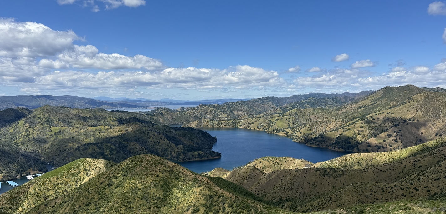
Why We Love It: This hike offers breathtaking views of Lake Berryessa and the surrounding hills. The trail features a variety of terrains, from steep climbs to gentle slopes, providing a comprehensive workout and rewarding vistas. It’s a great spot for wildlife spotting and offers a tranquil escape from city life.
Rating: Intermediate to Expert
- Cronan Ranch Regional Trails Park
Location: Pilot Hill, CAHow to Get There: Approximately 40 miles northeast of Sacramento. Take US-50 East to CA-49 North.
Why We Love It: Cronan Ranch provides expansive views of rolling hills and the American River. The well-marked trails are suitable for various hiking preferences, from easy strolls to more strenuous hikes. This park is perfect for those seeking a peaceful nature experience with the added bonus of diverse wildlife.
Rating: Beginner to Intermediate
- Hidden Falls Regional Park
Location: Auburn, CAHow to Get There: About 35 miles northeast of Sacramento. Take I-80 East to CA-49 North.
Why We Love It: Hidden Falls features lush forest trails and picturesque waterfalls. The park’s extensive trail system allows for customizable hiking experiences, whether you’re in the mood for a short walk or a longer trek. The sound of the waterfalls provides a soothing backdrop, making it a favorite for relaxation and scenic beauty.
Rating: Beginner to Intermediate
- Auburn State Recreation Area
Location: Auburn, CAHow to Get There: Approximately 35 miles northeast of Sacramento. Take I-80 East to Auburn.
Why We Love It: This area offers a variety of trails that cater to all skill levels, with stunning river views, deep canyons, and rugged landscapes. The trails here are perfect for those looking to experience diverse terrains and challenge themselves. The historical gold rush sites add an educational element to the adventure.
Rating: Beginner to Expert
- Lake Clementine Trail
Location: Auburn, CAHow to Get There: About 35 miles northeast of Sacramento. Take I-80 East to Auburn, then follow signs to Lake Clementine.
Why We Love It: This trail leads to the beautiful Lake Clementine, where you can enjoy serene water views and the impressive North Fork Dam. The trail is well-maintained and provides a peaceful environment for hikers looking to enjoy a relatively easy hike with rewarding scenery.
Rating: Beginner
IThese six hikes offer a variety of experiences and difficulties, perfect for everyone from beginners to seasoned hikers. Enjoy the beauty of nature and the physical benefits of hiking, all within a short drive from Sacramento. Happy hiking!
Other articles you might also be interested in: Spring Self-Care Rituals
Tag: Best Hiking Trails Near Sacramento

